 Request Info →
Request Info →
Request Info →
Advanced Geo Solutions is a surveying and mapping company headquartered in Baku, working across the Caspian Sea and the wider Caucasus. We turn complex survey requirements into actionable data — for marine contractors, infrastructure developers, energy operators and environmental regulators.
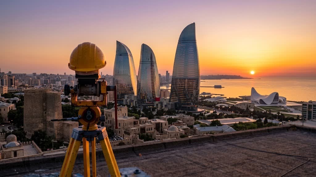
The Caspian is not a market we entered — it's where we're from. A decade of local bathymetry, seabed conditions, weather windows and permitting knowledge sits behind every mobilization, and it's why our data holds up.
Hydrography through geotechnics under a single roof. Projects that would otherwise need three contractors and three datums get delivered on one reference frame, by one team, with one point of accountability.
ISO 9001 procedures, documented QA at every handoff, and deliverables built to survive third-party review — because our data usually ends up in front of a regulator, an insurer or a design engineer.
"Today, Advanced Geo Solutions stands as a beacon of excellence, known for our ability to turn complex survey requirements into actionable insights. Our journey is defined by a relentless pursuit of perfection, a culture of teamwork, and a steadfast dedication to our clients."
Hover to preview — click any discipline for the full brief.
Click any project to expand the full brief.
Objectives, terrain, tolerances and deliverables defined before mobilization.
Vessels, instruments and crew deployed and calibrated to the environment.
Field data captured with hydrographic, geodetic or geotechnical instrumentation.
Data cleaned, reduced and quality-assured against ISO 9001 procedures.
Charts, models and point clouds issued ready for engineering or regulatory use.
Whether you're seeking advice on a specific project, exploring our services, or simply curious how we can assist — we're here to help.